 Wales · 13th century
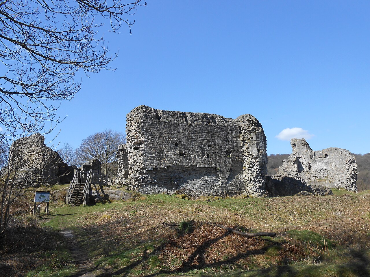
Caergwrle Castle ranks #5,079 of 9,040 worldwide in the atlas's castle fame ranking, and #90 of the 107 mapped in Wales. Founded 1278, it is older than 64% of the atlas's dated landmarks, one of 1091 atlas entries founded in the 13th century. 12 more atlas landmarks stand within 25 km. The nearest day-trip guide is Wrexham, 7 km away. It is one of the 27 landmarks on the atlas's regional map of North Wales. See how Wales compares in the castle statistics.
Caergwrle Castle (Welsh: Castell Caergwrle), also known as Queen's Hope in scholarly texts, is a castle located in the village of Caergwrle, in Flintshire, Wales. It was built by the Welsh under Dafydd ap Gruffydd in service to Edward I of England. When Dafydd's forces rebelled against the English, Edward sent Reginald de Grey, 1st Baron Grey de Wilton to take the castle in June 1282, but Dafydd had retreated and sabotaged the structure. Rebuilding works began, and it was given to Edward's wife, Eleanor of Castile. A town was planned at the base of the castle, but this was abandoned after a fire broke out in September 1283 when both Edward and Eleanor were present. It was passed down the royal line, but was never rebuilt. In 1823, a workman discovered the Caergwrle Bowl near the castle; it is a unique Bronze Age bowl.
Text adapted from “Caergwrle Castle” on Wikipedia, CC BY-SA 4.0.
View on the interactive castle map →