 Ukraine · 16th century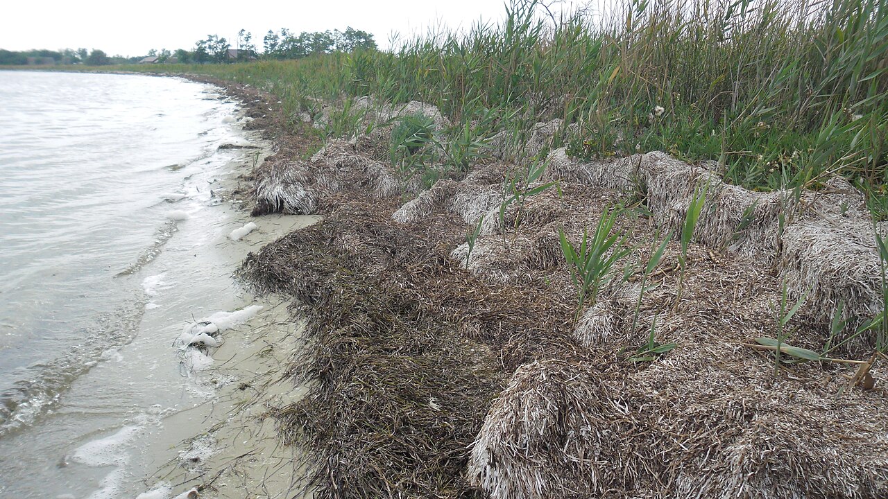
Kinburn (Ukrainian Кінбурн; Turkish Kilburun – translated "fine (narrow) spit of land") is a fortress complex built by the Ottomans in the 16th century to secure the mouth of the Dnieper, on a spit of the Kinburn Peninsula in the south of present-day Ukraine.
Together with the fortress of Ochakiv on the opposite bank of the Kinburn Strait, the mouth of the Dnieper-Bug estuary into the Black Sea, it controlled shipping traffic and trade to Ukraine.
Machine-translated from “Kinburn” on the German Wikipedia, CC BY-SA 4.0.
Kinburn ranks #1,316 of 9,035 worldwide in the atlas's castle fame ranking, and #24 of the 195 mapped in Ukraine. Founded c. 1550, it is older than 36% of the atlas's dated landmarks, one of 886 atlas entries founded in the 16th century. Its Wikipedia articles were opened 7,451 times in the last 60 days, more than 91% of the atlas. See how Ukraine compares in the castle statistics.
View on the interactive castle map →