Castles near Chalkída
20 castles, fortresses, palaces and ruins within 100 km of the city centre: every one on the interactive map, with photos, distances and directions.
- Within 100 km
- 20 landmarks
- By type
- 7 castles · 2 fortresses · 4 palaces & châteaux · 7 ruins
- Closest
- Karababa · 1 km
- Most famous
- Acropolis of Athens · #7
- Oldest
- Cadmea of Thebes · c. 1400 BC
- City
- 64,490 residents
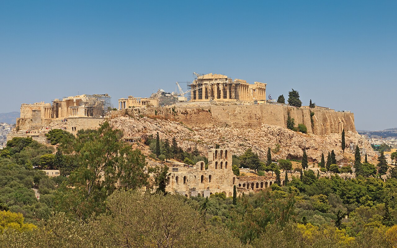
The closest is Karababa, 1 km west of the city centre; the most famous is Acropolis of Athens (#7 of 9,902 worldwide) 56 km south. The oldest dated site in the circle is Cadmea of Thebes, founded c. 1400 BC.
Every one of them stands in Greece: the country page shows the full national picture.
Within 25 km of Chalkída
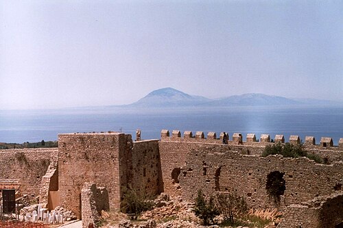
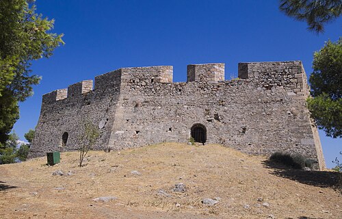
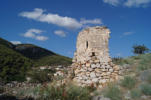
- Karababa1 km west · Castle
Karababa is a fortification situated on a hill on the mainland coast of the town of Chalcis, in the regional unit of Euboea, in Greece.
Day trips: 25–60 km
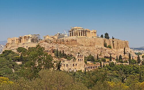
- Acropolis of Athens56 km south · Ruin · #7 worldwide
The Acropolis of Athens is an ancient citadel located on a rocky outcrop above the city of Athens, Greece, and contains the remains of several…
- Tatoi Palace37 km south-east · Palace & château
Tatoi was the summer palace and 42 km2 estate of the former Greek royal family.
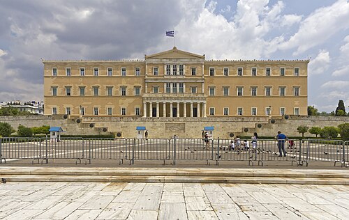
- Old Royal Palace56 km south · Palace & château
The Old Royal Palace is the first royal palace of modern Greece. It is a neoclassical building situated at the heart of modern Athens, facing onto…
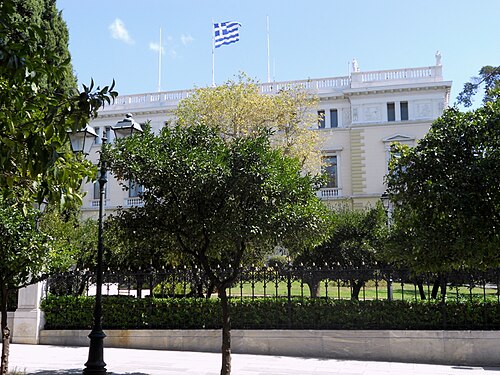
- Presidential Mansion56 km south · Palace & château
The Presidential Mansion in Athens, Greece, is the official residence of the president of the Hellenic Republic.
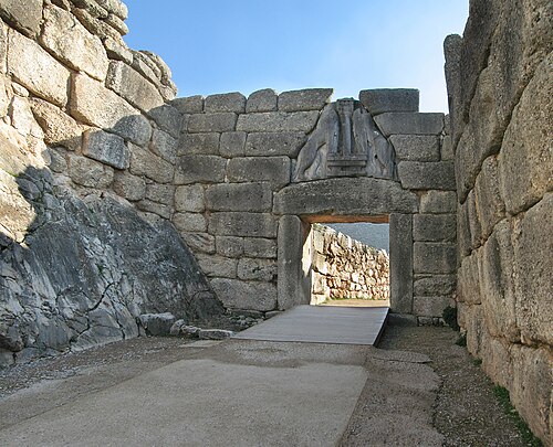
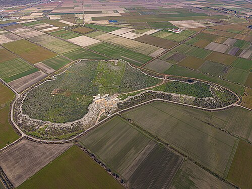
- Gla36 km west · Fortress
Gla, also called Glas, was an important fortified site of the Mycenaean civilization, located in Boeotia, mainland Greece.
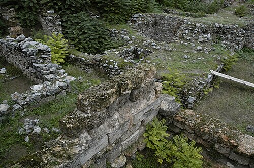
- Cadmea of Thebes29 km south-west · Ruin
The Cadmea, or Cadmeia, was the citadel of ancient Thebes, Greece, which was named after Cadmus, the legendary founder of Thebes.
- Aigosthena47 km south-west · Ruin
Aigosthena was an ancient Greek fortified port city of Megaris, 19 km northwest of the ancient city of Megara to which it belonged.
- Siphae56 km south-west · Ruin
Siphae or Siphai, also known as Tipha, was a town of ancient Boeotia, upon the Corinthian Gulf, which was said to have derived its name from Tiphys,…
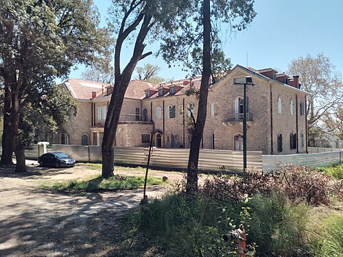
- Rododafni kastello52 km south-east · Palace & château
Rododafni castle is a palace in Penteli, Greece. It is located on the Lord Byron street on the slope of mount Pentelicus.
- Potiri Castle48 km east · Castle
Potiri Castle is a medieval fortress in the centre of the Greek island of Euboea.
- Phyle36 km south · Fortress
The fortress of Phyle, named after the deme of the same name in which it lies, is situated in the Parnitha mountains in the Greek region of Attica.
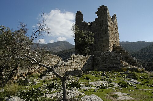
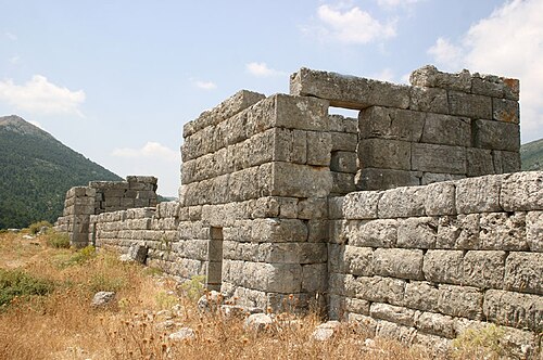
- Fortress of Eleutherai37 km south-west · Ruin
The Fortress of Eleutherai is an archaeological site located in northern Attica, Greece.
Farther afield: 60–100 km
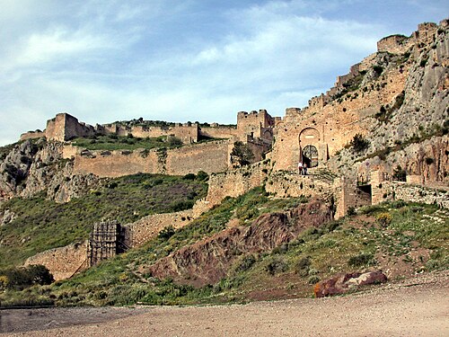
- Acrocorinth90 km south-west · Castle · #277 worldwide
Acrocorinth is a monolithic rock overlooking the ancient city of Corinth, Greece.
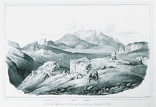
- Panopeus70 km west · Ruin
Panopeus, or Phanoteus, was a Greek town of ancient Phocis, near the frontier of Boeotia, and on the road from Daulis to Chaeronea.
- Palaiochora80 km south · Ruin
Paliachora, also known as Palaia Chora and Palaiochora is an abandoned Medieval settlement on Aegina, one of the islands off the coast of Attica in…
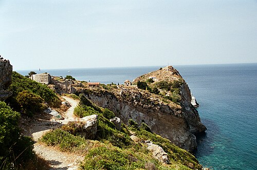
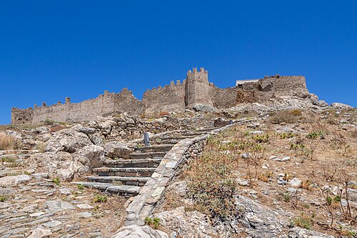
- Skiathos Castle84 km north · Castle
Skiathos Castle or simply Kastro is a medieval fortified site on the northern tip of the island of Skiathos in Greece, which was the main settlement…
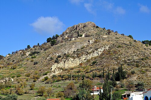
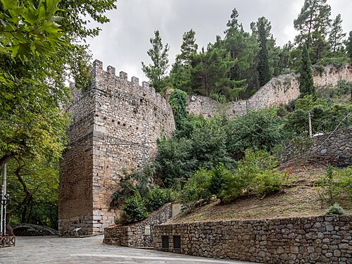
- Medieval Castle of Levadia63 km west · Castle
The Medieval Castle of Levadia was built initially by the Byzantines and later by the Franks.
- Castelo Rosso87 km south-east · Castle
Castelo Rosso, also Kokkinokastro or the fortress of Karystos, is a medieval castle located in southern Euboea.
- Castle of Piada96 km south-west · Castle
The castle of Nea Epidavros, or Castle of Piada, is a Venetian castle whose construction dates back to the 13th century.
Distances are straight-line from the city centre. City coordinates and population: Wikidata Q200133.
Frequently asked questions
How many castles are near Chalkída?
The Castle Map atlas maps 20 landmarks (7 castles · 2 fortresses · 4 palaces & châteaux · 7 ruins) within 100 km of the centre of Chalkída, measured straight-line: a curated selection of well-documented landmarks, not a count of every fortification ever built.
What is the closest castle to Chalkída?
Karababa, a castle 1 km west of the city centre.
What is the most famous castle near Chalkída?
Acropolis of Athens, ranked #7 of 9,902 worldwide in the atlas's fame ranking: 56 km south from Chalkída.
What is the oldest castle near Chalkída?
The oldest dated landmark in the circle is Cadmea of Thebes, founded c. 1400 BC: 29 km south-west. Earlier structures may have existed; this is the oldest with a documented founding year.
Nearby city guides
- Athens54 km
- Patras164 km
- Kalamata205 km
- Thessaloniki249 km