 Syria · 6th century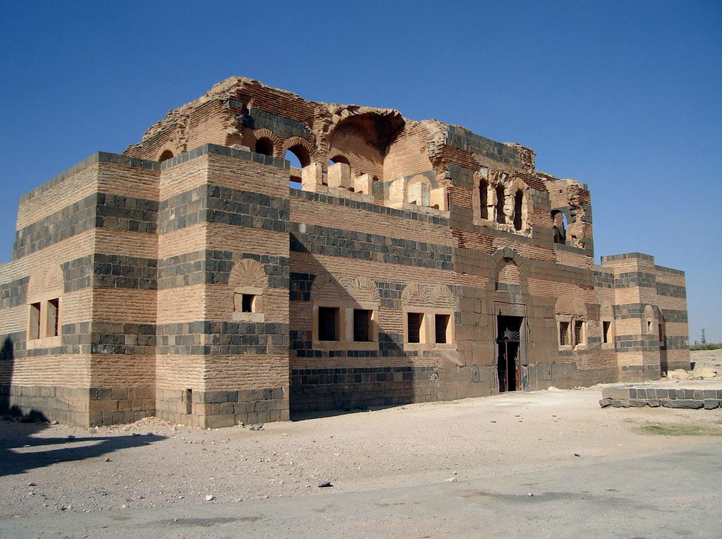
Qasr Ibn Wardan (Arabic: قصر ابن وردان) is a hamlet and 6th-century archaeological site located in the Syrian Desert, approximately 60 kilometres (37 mi) northeast from Hama and about 19 kilometres (12 mi) northeast of al-Hamraa. The hamlet is separated from the Byzantine-era ruins by a road, with the former situated to the east of the road and the ruins situated to the west. According to the Syria Central Bureau of Statistics (CBS), Qasr Ibn Wardan had a population of 467 in the 2004 census.
Text adapted from “Qasr Ibn Wardan” on Wikipedia, CC BY-SA 4.0.
Qasr ibn Wardan ranks #2,658 of 9,079 worldwide in the atlas's castle fame ranking, and #15 of the 38 mapped in Syria. Founded c. 550, it is older than 96% of the atlas's dated landmarks — one of 39 atlas entries founded in the 6th century. The nearest day-trip guide is Salamiyah, 43 km away. It is one of the 106 landmarks on the atlas's regional map of the Levant. See how Syria compares in the castle statistics.
View on the interactive castle map →