Ruin
Tuileries Palace
 France · 16th century
- Founded
- 1564
- Style
- Renaissance
- Architect
- Louis Le Vau, Philibert de l'Orme, Jean Bullant
- Location
- Saint-Germain-l'Auxerrois
- Coordinates
- 48.86222°, 2.33111°
- Open data
- Wikidata Q234364
- Links
- Wikimedia Commons
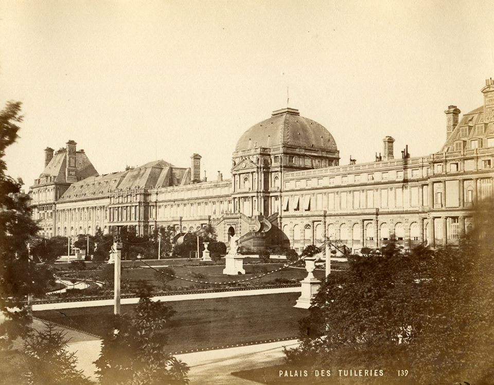
Description
The Tuileries Palace (French: palais des Tuileries, [palɛ de tɥilʁi]) was a palace in Paris which stood on the right bank of the Seine, directly in the west-front of the Louvre Palace. It was the Parisian residence of most French monarchs, from Henri IV to Napoleon III, until it was burned by the Paris Commune in 1871 and demolished in 1883.
Construction began in 1564, originally to serve as a home for Queen Catherine de' Medici, and was gradually extended until it closed off the western end of the courtyard and displayed an immense façade of 266 metres. Since the destruction of the Tuileries, the courtyard has remained open to the west, and the site now overlooks the eastern end of the Tuileries Garden, forming an elevated terrace between the Place du Carrousel and the gardens proper.
Text adapted from “Tuileries Palace” on Wikipedia, CC BY-SA 4.0.
In the rankings
Tuileries Palace ranks #29 of 9,902 worldwide in the atlas's castle fame ranking, and #4 of the 954 mapped in France. Founded 1564, it is older than 36% of the atlas's dated landmarks, one of 933 atlas entries founded in the 16th century. Its Wikipedia articles were opened 75,235 times in the last 60 days, more than 99% of the atlas. 54 more atlas landmarks stand within 25 km. The nearest day-trip guide is Paris, 2 km away. See how France compares in the castle statistics.
Castles nearby
- Louvre Palace1 km · France
- Palais-Royal1 km · France
- Palais de la Légion d'Honneur1 km · France
- Louvre Castle1 km · France
More castles in France
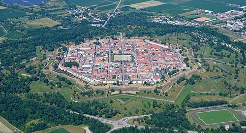
- Neuf-BrisachFrance · 17th century
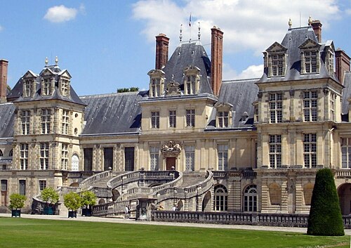
- Palace of FontainebleauFrance · 12th century
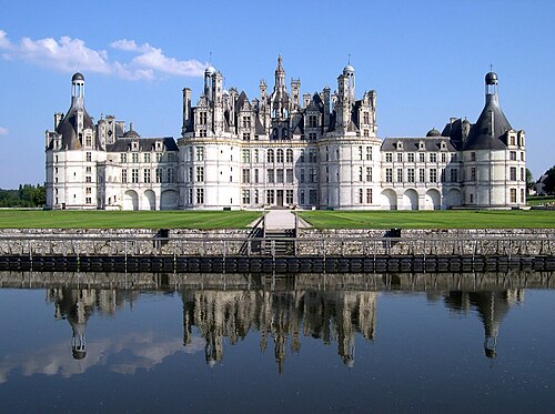
- Château de ChambordFrance · 16th century
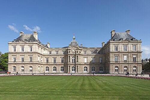
- Luxembourg PalaceFrance · 17th century