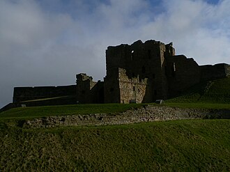
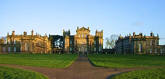
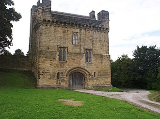
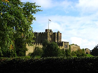
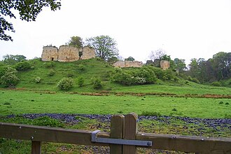
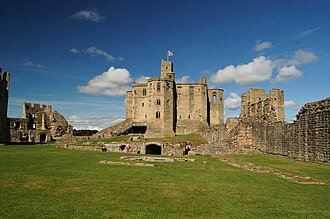
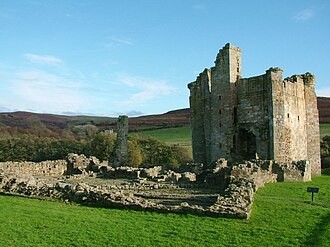
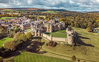
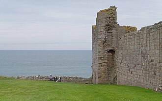
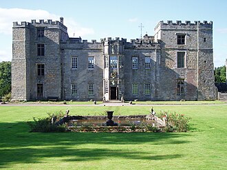
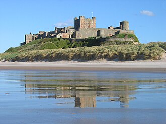
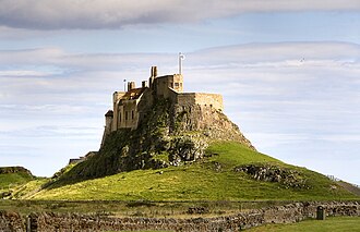
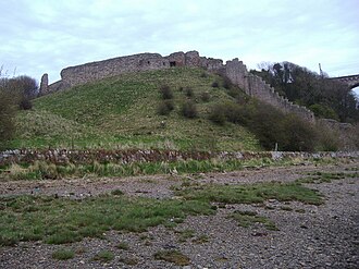
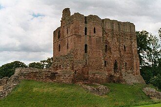
England ends here, and for three hundred years the border moved back and forth across it, so the Northumberland coast is fortified the way nowhere else in England is. Bamburgh sits on the dolerite crag that was the seat of the kings of Bernicia and Northumbria; Lindisfarne is cut off by the tide twice a day; Dunstanburgh is a mile’s walk along the beach from the nearest road and was already a ruin by 1550.
What this atlas maps on the Northumberland castle coast
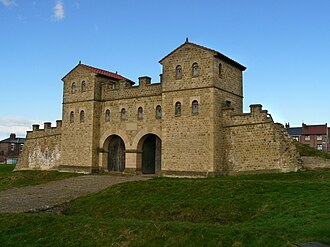
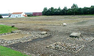
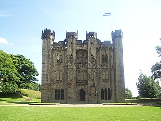
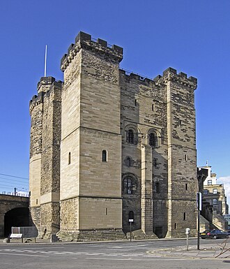
That is every atlas landmark within 15 km of the line, spanning 2nd century to 18th century. Nobody picked them: the geography did.
The best known is Bamburgh Castle, ranked 161 of the 9,035 landmarks in the atlas by Wikipedia presence and real readership. The oldest is Castrum Segedunum, founded 122.
The route runs through England. The same ground, without the itinerary: Castles in Northumberland.
Travelling it
The A1 runs the length of it and the East Coast Main Line shadows the A1, with stations at Alnmouth and Berwick. Check the Holy Island crossing times before driving to Lindisfarne: the causeway floods, and cars are pulled off it every year.
Day-trip guides for the towns and cities along it: Newcastle upon Tyne · Sunderland.
See the route on the map →