 England · 1st century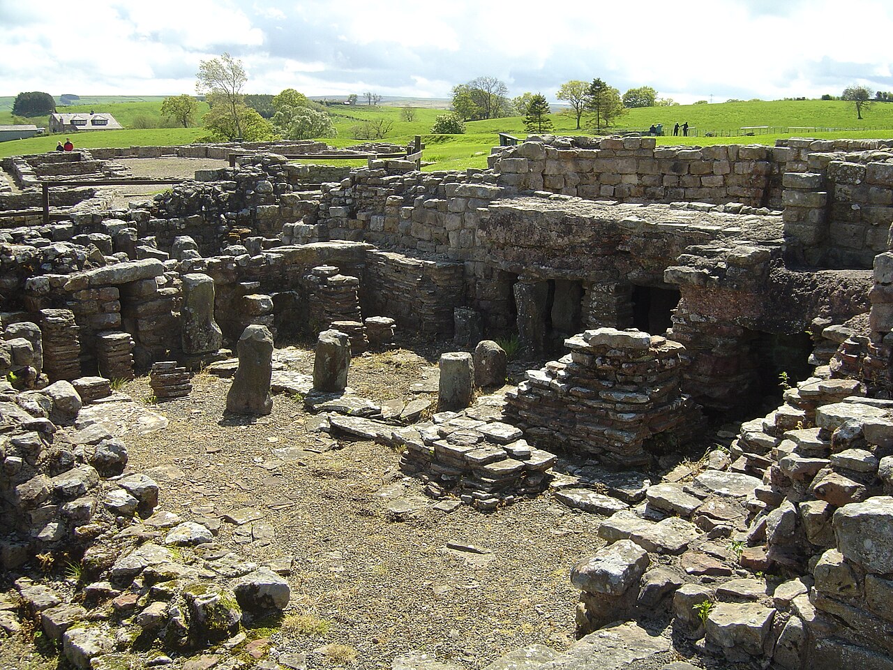
Vindolanda was a Roman auxiliary fort (castrum) just south of Hadrian's Wall in northern England, which it pre-dated. Archaeological excavations of the site show it was under Roman occupation from roughly 85 AD to 370 AD. Located near the modern village of Bardon Mill in Northumberland, it guarded the Stanegate, the Roman road from the River Tyne to the Solway Firth. It is noted for the Vindolanda tablets, a set of wooden leaf-tablets that were, at the time of their discovery, the oldest surviving handwritten documents in Britain.
Text adapted from “Vindolanda” on Wikipedia, CC BY-SA 4.0.
Vindolanda ranks #398 of 9,079 worldwide in the atlas's castle fame ranking, and #33 of the 360 mapped in England. Founded 85, it is older than 98% of the atlas's dated landmarks — one of 33 atlas entries founded in the 1st century. Its Wikipedia articles were opened 14,541 times in the last 60 days, more than 96% of the atlas. 17 more atlas landmarks stand within 25 km. The nearest day-trip guide is Newcastle upon Tyne, 48 km away. See how England compares in the castle statistics.
View on the interactive castle map →