Castle Map

Germany

Castles near Kaiserslautern

170 castles, fortresses, palaces and ruins within 100 km of the city centre — every one on the interactive map, with photos, distances and directions.

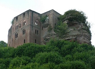
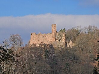
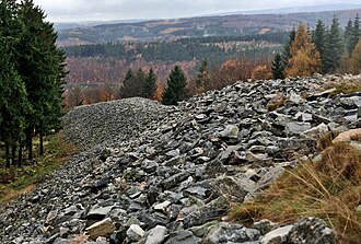
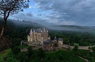
The closest is Hohenecken Castle, 6 km south-west of the city centre; the most famous is Eltz Castle — #75 of 9,079 worldwide — 90 km north. The oldest dated site in the circle is Celtic circular wall of Otzenhausen, founded c. 350 BC.

The 100 km circle reaches into 3 countries — Germany (139), France (30), Luxembourg (1).
Within 25 km of Kaiserslautern

Day trips: 25–60 km

+ 38 more in this range — every one is on the interactive map.

Farther afield: 60–100 km

+ 97 more in this range — every one is on the interactive map.

Distances are straight-line from the city centre. City coordinates and population: Wikidata Q3758.

Frequently asked questions

How many castles are near Kaiserslautern?

The Castle Map atlas maps 170 landmarks (51 castles · 7 fortresses · 34 palaces & châteaux · 78 ruins) within 100 km of the centre of Kaiserslautern, measured straight-line — a curated selection of well-documented landmarks, not a count of every fortification ever built.

What is the closest castle to Kaiserslautern?

Hohenecken Castle, a ruin 6 km south-west of the city centre.

What is the most famous castle near Kaiserslautern?

Eltz Castle, ranked #75 of 9,079 worldwide in the atlas's fame ranking — 90 km north from Kaiserslautern.

What is the oldest castle near Kaiserslautern?

The oldest dated landmark in the circle is Celtic circular wall of Otzenhausen, founded c. 350 BC — 59 km west. Earlier structures may have existed; this is the oldest with a documented founding year.

Nearby city guides: Mannheim (51 km) · Saarbrücken (60 km) · Karlsruhe (66 km) · Heidelberg (68 km). See also medieval castles · all rankings · castles by country.