 Wales · 13th century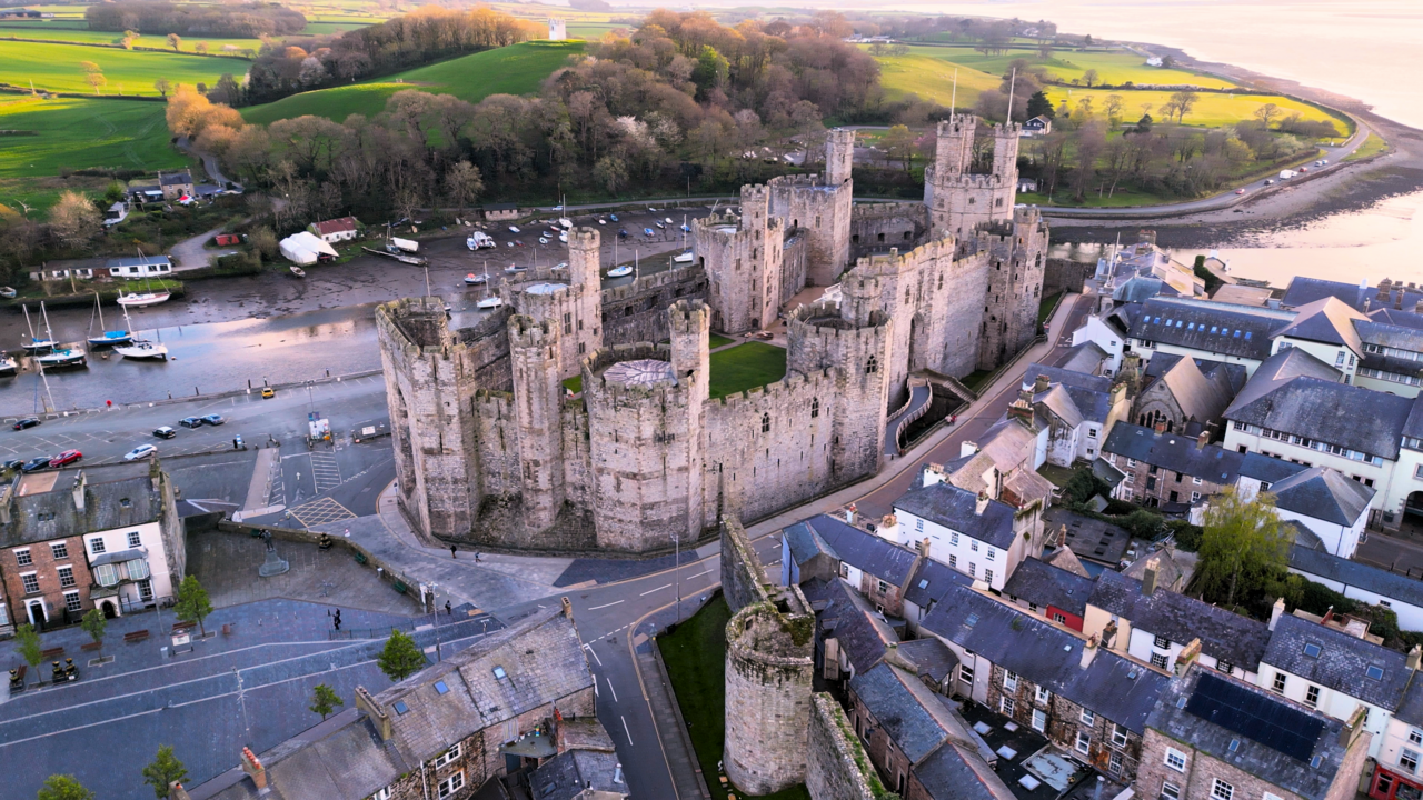
Caernarfon Castle (Welsh: Castell Caernarfon; Welsh pronunciation: [kastɛɬ kaɨrˈnarvɔn]) is a medieval fortress in Gwynedd, north-west Wales. The first fortification on the site was a motte-and-bailey castle built in the late 11th century, which King Edward I of England began to replace with the current stone structure in 1283. The castle and town established by Edward acted as the administrative centre of north Wales, and as a result the defences were built on a grand scale. There was a deliberate link with Caernarfon's Roman past—nearby is the Roman fort of Segontium—and the castle's walls are reminiscent of the Walls of Constantinople.
While the castle was under construction, town walls were built around Caernarfon. The work cost between £20,000 and £25,000 from the start until the work ended in 1330. Although the castle appears mostly complete from the outside, the interior buildings no longer survive and many parts of the structure were never finished. In 1294 the town and castle were sacked and captured by Madog ap Llywelyn during his rebellion against the English, but were recaptured the following year. The castle was unsuccessfully besieged during the Glyndŵr Rising of 1400–1415. When the Tudor dynasty ascended to the English throne in 1485, tensions between the Welsh and English began to diminish and castles were considered less important. As a result, Caernarfon Castle was allowed to fall into a state of disrepair.
Despite its dilapidated condition, during the English Civil War Caernarfon Castle was held by Royalists and besieged three times by Parliamentarian forces. This was the last time the castle was used in war. The castle was neglected until the 19th century when the state funded repairs. The castle was used for the investiture of the Prince of Wales in 1911 and again in 1969.
Text adapted from “Caernarfon Castle” on Wikipedia, CC BY-SA 4.0.
Caernarfon Castle ranks #148 of 9,079 worldwide in the atlas's castle fame ranking, and #1 of the 107 mapped in Wales. Founded 1283, it is older than 64% of the atlas's dated landmarks — one of 1080 atlas entries founded in the 13th century. Its Wikipedia articles were opened 21,750 times in the last 60 days, more than 98% of the atlas. 7 more atlas landmarks stand within 25 km. The nearest day-trip guide is Wrexham, 86 km away. It is one of the 27 landmarks on the atlas's regional map of North Wales. It is stop 7 of 8 on Edward I’s ring of iron, Flint to Beaumaris. See how Wales compares in the castle statistics.
View on the interactive castle map →