


 Castles near Rahat
17 castles, fortresses, palaces and ruins within 100 km of the city centre: every one on the interactive map, with photos, distances and directions.
- Within 100 km
- 17 landmarks
- By type
- 2 castles · 2 fortresses · 13 ruins
- Closest
- Qasr al-Basha · 30 km
- Most famous
- Masada · #24
- Oldest
- Tower of David · 150 BC
- Countries
- Israel 10 · Palestine 4 · Jordan 2 · Egypt 1
- City
- 64,462 residents
The closest is Qasr al-Basha, 30 km north-west of the city centre; the most famous is Masada (#24 of 9,902 worldwide) 58 km east. The oldest dated site in the circle is Tower of David, founded 150 BC.
The 100 km circle reaches into 4 countries: Israel (10), Palestine (4), Jordan (2), Egypt (1).
Day trips: 25–60 km
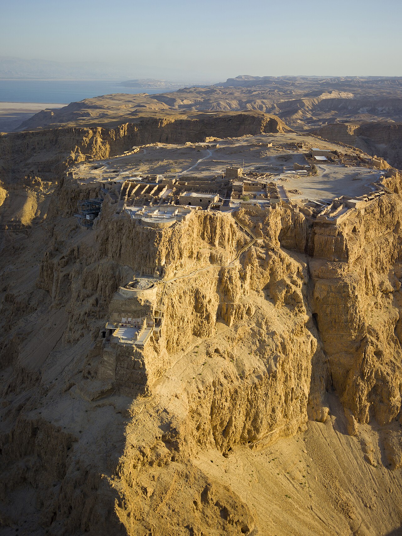
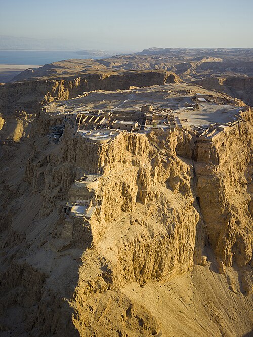
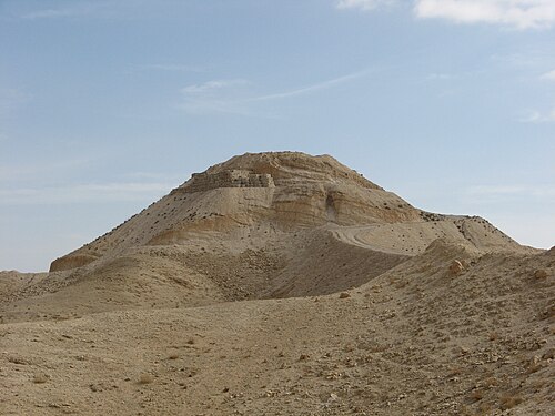
- Masada58 km east · Ruin · #24 worldwide
Masada is a mountain-top fortress complex in the Judaean Desert, overlooking the western shore of the Dead Sea in southeastern Israel.
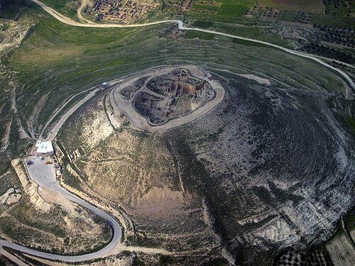
- Herodium
 55 km north-east · Ruin · #333 worldwide
The Herodeion, in Latin: Herodium, in Modern Hebrew: הרודיון Herodion, known in Arabic as Jabal al-Fureidis is a fortified desert palace built by…
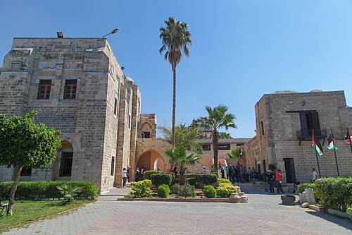
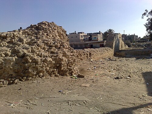
- Qasr al-Basha30 km north-west · Ruin
Qasr al-Basha, also known as Pasha's Palace Museum, Radwan Castle, and Napoleon's Fort, was a historic building in the Old City of Gaza, Palestine.
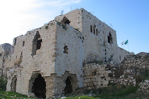
- Minat al-Qal'a45 km north · Ruin
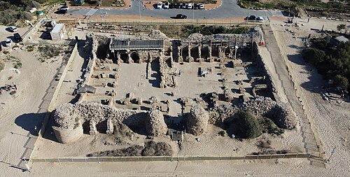
Minat al-Qal'a is a medieval coastal fort protecting the port known as Ashdod-Yam, which was historically separate from Ashdod proper but whose…
- Castel National Park58 km north-east · Ruin
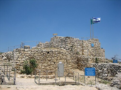
Castel National Park is an Israeli national park, which consists of a fortified summit in the Judean Mountains, at the site of the former Palestinian…
Farther afield: 60–100 km
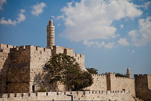
- Tower of David62 km north-east · Fortress · #212 worldwide
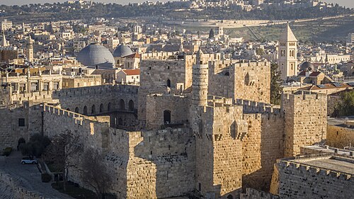
The Tower of David, also known as the Citadel, is an ancient citadel and contemporary museum, located near the Jaffa Gate entrance to the Old City of…
- Walls of Jerusalem62 km north-east · Fortress
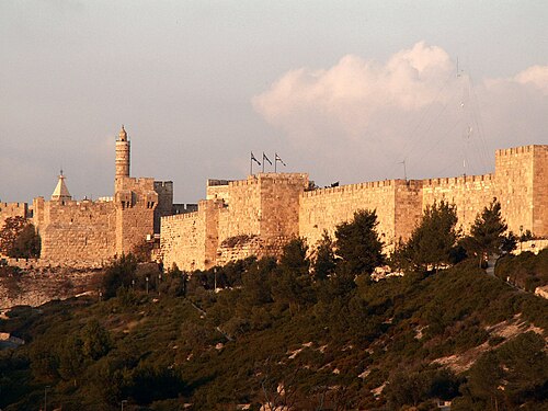
The Walls of Jerusalem surround the Old City of Jerusalem. In 1535, when Jerusalem was part of the Ottoman Empire, Sultan Suleiman the Magnificent…
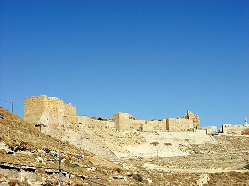
- Kerak Castle
 93 km east · Castle
Kerak Castle is a large medieval castle located in al-Karak, Jordan. It is one of the largest castles in the Levant.
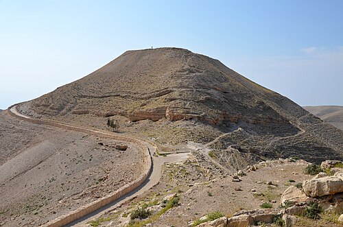
- Machaerus85 km east · Ruin
Machaerus was a Hasmonean hilltop palace and desert fortress, rebuilt by Herod and now in ruins, in the village of Mukawir in modern-day Jordan.
- Antonia Fortress63 km north-east · Ruin
The Antonia Fortress was a citadel built by Herod the Great and named for Herod's patron Mark Antony, as a fortress whose chief function was to…
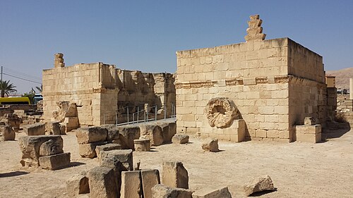
- Hisham's Palace86 km north-east · Ruin
Hisham's Palace, also known as Khirbat al-Mafjar, is an important early Islamic archaeological site in the city of Jericho, in the West Bank in…
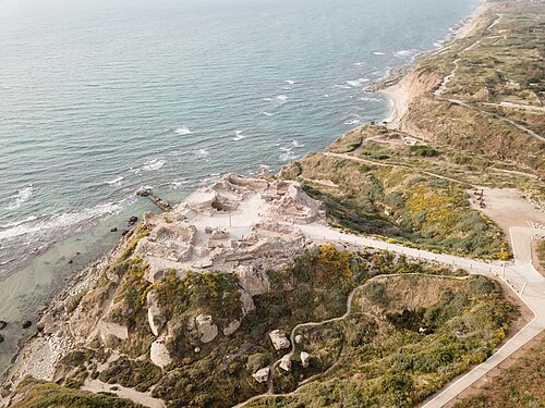
- Arsuf89 km north · Ruin
Apollonia, known in the Early Islamic period as Arsuf and in the Crusader Kingdom of Jerusalem as Arsur, was an ancient city on the Mediterranean…
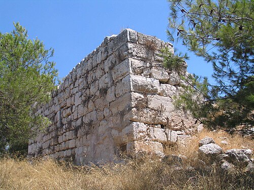
- Qula74 km north · Ruin
Qula was a Palestinian village in the Ramle Subdistrict of Mandatory Palestine, located 15 km northeast of Ramla.
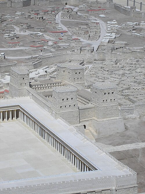
- Herod's Palace at Jerusalem62 km north-east · Ruin
Herod's Palace at Jerusalem was built in the last quarter of the 1st century BC by King Herod the Great of Judea from 37 BC to 4 BC.
- Migdal Afek79 km north · Ruin
Migdal Afek, also Migdal Tsedek, is a national park on the southeastern edge of Rosh HaAyin, Israel.
- Arish castle
 96 km west · Castle
Arish castle is a historic castle founded by Sultan Suleiman Khan I, known as Suleiman the Magnificent, in the year 968 AH, corresponding to 1560 AD;…
- Cypros81 km north-east · Ruin
Cypros was a fort of Herod the Great. It stood on Tell Aqaba, north-west of the Dead Sea, just south-west of Jericho.

Distances are straight-line from the city centre. City coordinates and population: Wikidata Q167617.
Frequently asked questions
How many castles are near Rahat?
The Castle Map atlas maps 17 landmarks (2 castles · 2 fortresses · 13 ruins) within 100 km of the centre of Rahat, measured straight-line: a curated selection of well-documented landmarks, not a count of every fortification ever built.
What is the closest castle to Rahat?
Qasr al-Basha, a ruin 30 km north-west of the city centre.
What is the most famous castle near Rahat?
Masada, ranked #24 of 9,902 worldwide in the atlas's fame ranking: 58 km east from Rahat.
What is the oldest castle near Rahat?
The oldest dated landmark in the circle is Tower of David, founded 150 BC: 62 km north-east. Earlier structures may have existed; this is the oldest with a documented founding year.