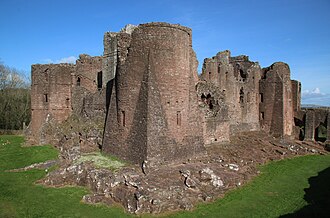
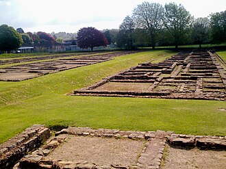
The closest is Barbury Castle, 8 km south of the city centre; the most famous is Windsor Castle (#11 of 9,035 worldwide) 82 km east.
The 100 km circle reaches into 2 countries: England (65), Wales (20).
 England
85 castles, fortresses, palaces and ruins within 100 km of the city centre: every one on the interactive map, with photos, distances and directions.
The closest is Barbury Castle, 8 km south of the city centre; the most famous is Windsor Castle (#11 of 9,035 worldwide) 82 km east.
The 100 km circle reaches into 2 countries: England (65), Wales (20).
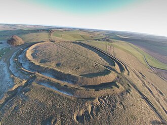
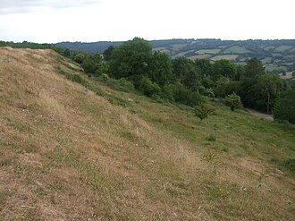
8 km south · Ruin
Barbury Castle is a scheduled hillfort in Wiltshire, England, about 5.5 miles south of Swindon.
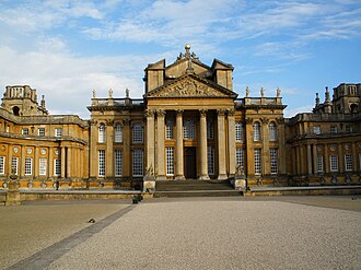
43 km north-east · Palace & château · #30 worldwide
Blenheim Palace is a country house in Woodstock, Oxfordshire, England. It is the seat of the Dukes of Marlborough, and the birthplace of Sir Winston…
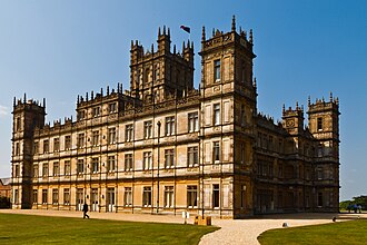
39 km south-east · Palace & château · #282 worldwide
Highclere Castle is a Grade I listed country house built in 1679 and largely renovated during the 1840s, with a park designed by Capability Brown in…
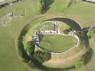
52 km south · Ruin
Old Sarum, in Wiltshire, South West England, is the ruined and deserted site of the earliest settlement of Salisbury.
49 km west · Castle
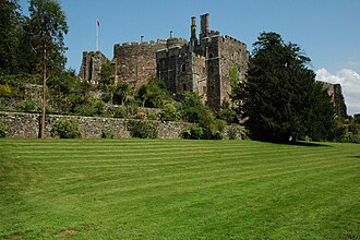
Berkeley Castle is a castle in the town of Berkeley, Gloucestershire, England.
42 km north-east · Ruin
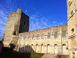
Oxford Castle is a large, partly ruined medieval castle on the western side of central Oxford in Oxfordshire, England.
45 km north · Castle
Sudeley Castle is a Grade I listed castle in the parish of Sudeley, in the Cotswolds, near to the medieval market town of Winchcombe,…
43 km north-east · Ruin
Woodstock Palace was a royal residence in the English town of Woodstock, Oxfordshire.
42 km north-east · Ruin
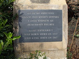
Beaumont Palace, built outside the north gate of Oxford, was intended by Henry I about 1130 to serve as a royal palace conveniently close to the…
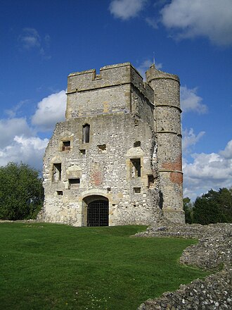
34 km south-east · Ruin
Donnington Castle is a ruined medieval castle, situated in the small village of Donnington, just north of the town of Newbury in the English county…
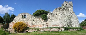
46 km east · Ruin
Wallingford Castle is a medieval castle situated in Wallingford in the English county of Oxfordshire, adjacent to the River Thames.
42 km south-west · Ruin
Little Solsbury Hill is a small flat-topped hill and the site of an Iron Age hillfort, above the village of Batheaston in Somerset, England.
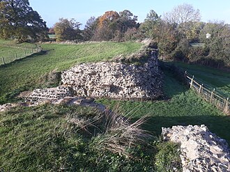
53 km south-east · Ruin
Calleva Atrebatum was an Iron Age oppidum, the capital of the Atrebates tribe.
+ 13 more in this range: every one is on the interactive map.
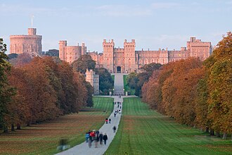
82 km east · Castle · #11 worldwide
Windsor Castle is a royal residence at Windsor in the English county of Berkshire, about 25 miles west of central London.
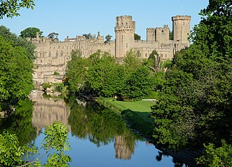
81 km north · Castle · #144 worldwide
Warwick Castle is a medieval castle developed from a wooden fort originally built by William the Conqueror during 1068.
97 km west · Castle · #272 worldwide
Cardiff Castle is a medieval castle and Victorian Gothic revival mansion located in the city centre of Cardiff, Wales.
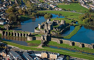
99 km west · Castle · #356 worldwide
Caerphilly Castle is a medieval fortification in Caerphilly in South Wales. The castle was constructed by Gilbert de Clare in the 13th century as…
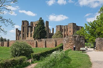
89 km north · Ruin
Kenilworth Castle is a castle in the town of Kenilworth in Warwickshire, England, managed by English Heritage; much of it is in ruins.
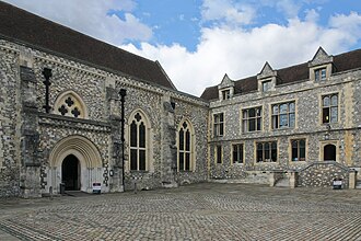
64 km south-east · Castle
Winchester Castle was a royal residence in Winchester, Hampshire, England, founded in 1067 by William the Conqueror.
63 km west · Ruin
Chepstow Castle at Chepstow, Monmouthshire, Wales, is the oldest surviving post-Roman stone fortification in Britain.
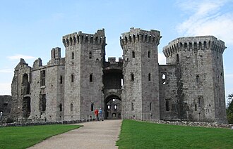
77 km west · Ruin
Raglan Castle is a late medieval castle located just north of the village of Raglan in the county of Monmouthshire in south east Wales.
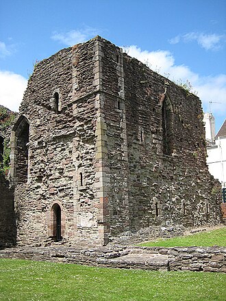
70 km north-west · Ruin
Monmouth Castle is a castle close to the centre of the town of Monmouth, the county town of Monmouthshire, on a hill above the River Monnow in…
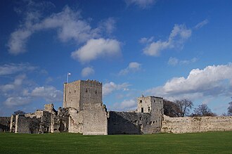
93 km south-east · Castle
Portchester Castle is a medieval fortress that was developed within the walls of the Roman Saxon Shore fort of Portus Adurni at Portchester, to the…
68 km north-west · Ruin
Goodrich Castle is a Norman medieval castle ruin north of the village of Goodrich in Herefordshire, England, controlling a key location between…
81 km west · Ruin
Isca, variously specified as Isca Augusta or Isca Silurum, was the site of a Roman legionary fortress and settlement or vicus, the remains of which…
+ 47 more in this range: every one is on the interactive map.
Distances are straight-line from the city centre. City coordinates and population: Wikidata Q200942.
The Castle Map atlas maps 85 landmarks (27 castles · 5 fortresses · 7 palaces & châteaux · 46 ruins) within 100 km of the centre of Swindon, measured straight-line: a curated selection of well-documented landmarks, not a count of every fortification ever built.
Barbury Castle, a ruin 8 km south of the city centre.
Windsor Castle, ranked #11 of 9,035 worldwide in the atlas's fame ranking: 82 km east from Swindon.
Nearby city guides: Oxford (42 km) · Bristol (58 km) · Basingstoke (58 km) · Southampton (77 km). See also medieval castles · all rankings · castles by country.