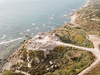
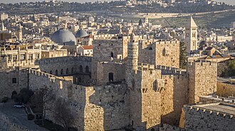
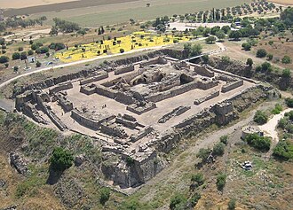
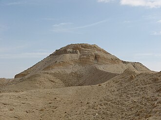
The closest is Arsuf, 13 km north of the city centre; the most famous is Tower of David (#206 of 9,035 worldwide) 54 km south-east.
The 100 km circle reaches into 3 countries: Israel (16), Palestine (4), Jordan (2).
 Israel
22 castles, fortresses, palaces and ruins within 100 km of the city centre: every one on the interactive map, with photos, distances and directions.
The closest is Arsuf, 13 km north of the city centre; the most famous is Tower of David (#206 of 9,035 worldwide) 54 km south-east.
The 100 km circle reaches into 3 countries: Israel (16), Palestine (4), Jordan (2).
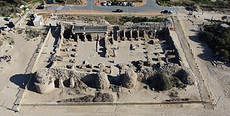
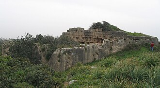
13 km north · Ruin
Apollonia, known in the Early Islamic period as Arsuf and in the Crusader Kingdom of Jerusalem as Arsur, was an ancient city on the Mediterranean…
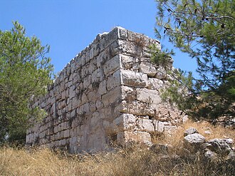
17 km east · Ruin
Qula was a Palestinian village in the Ramle Subdistrict of Mandatory Palestine, located 15 km northeast of Ramla.
17 km east · Ruin
Migdal Afek, also Migdal Tsedek, is a national park on the southeastern edge of Rosh HaAyin, Israel.
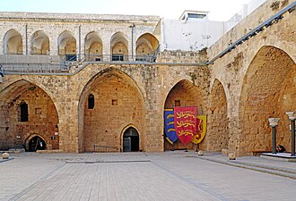
54 km south-east · Fortress · #206 worldwide
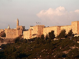
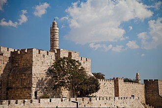
The Tower of David, also known as the Citadel, is an ancient citadel and contemporary museum, located near the Jaffa Gate entrance to the Old City of…
54 km south-east · Fortress · #302 worldwide
The Walls of Jerusalem surround the Old City of Jerusalem. In 1535, when Jerusalem was part of the Ottoman Empire, Sultan Suleiman the Magnificent…
54 km south-east · Ruin
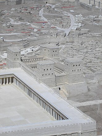
The Antonia Fortress was a citadel built by Herod the Great and named for Herod's patron Mark Antony, as a fortress whose chief function was to…
54 km south-east · Ruin
Herod's Palace at Jerusalem was built in the last quarter of the 1st century BC by King Herod the Great of Judea from 37 BC to 4 BC.
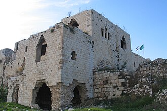
47 km south-east · Ruin
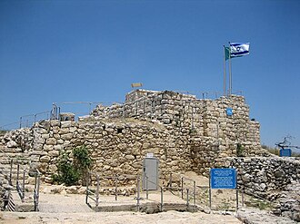
Castel National Park is an Israeli national park, which consists of a fortified summit in the Judean Mountains, at the site of the former Palestinian…
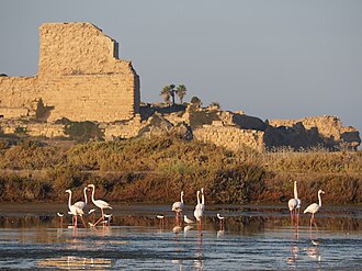
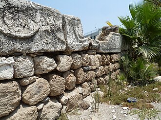
37 km south-west · Ruin
Minat al-Qal'a is a medieval coastal fort protecting the port known as Ashdod-Yam, which was historically separate from Ashdod proper but whose…
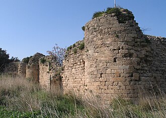
34 km north-east · Ruin
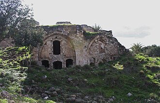
Caco is a 12th-century Crusader castle situated in present-day Israel, 15 km from Netanya and 3 km from the "Utopia" park and Kibbutz Bahan.
98 km south-east · Ruin
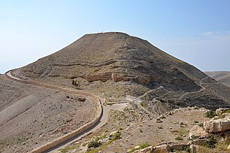
Machaerus was a Hasmonean hilltop palace and desert fortress, rebuilt by Herod and now in ruins, in the village of Mukawir in modern-day Jordan.
68 km east · Ruin
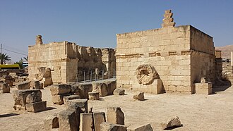
Hisham's Palace, also known as Khirbat al-Mafjar, is an important early Islamic archaeological site in the city of Jericho, in the West Bank in…
90 km north-east · Ruin
Belvoir Castle, also called Coquet by the Crusaders, also Kochav HaYarden and Kawkab al-Hawa, is a Crusader castle in northern Israel, on a hill on…
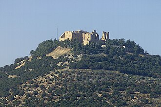
93 km east · Castle
Ajloun Castle, medieval name Qalʻat ar-Rabad, is a 12th-century Muslim castle situated in northwestern Jordan.
71 km north · Fortress
Château Pèlerin, also known as Atlit and Magdiel, is a Crusader fortress and fortified town located about 2 kilometres north of the modern Israeli…
64 km east · Ruin
Alexandreion, or Alexandrium, called Sartaba in the Mishna and Talmud and Qarn Sartaba in Arabic, was an ancient hilltop fortress constructed by the…
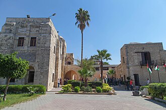
71 km south-west · Ruin
Qasr al-Basha, also known as Pasha's Palace Museum, Radwan Castle, and Napoleon's Fort, was a historic building in the Old City of Gaza, Palestine.
98 km north · Fortress
The Hospitaller commandery of Saint-Jean-d'Acre is a monumental complex founded by the Order of St. John of Jerusalem, also known as the Knights…
72 km north · Ruin
Le Destroit is a ruined medieval fortified road station, built by the Templars of the Crusader Kingdom of Jerusalem in the early 12th century CE,…
64 km north · Ruin
Cafarlet or Capharleth or Kafr Lam is an Early Muslim coastal fortress of the Roman castrum type.
76 km north-east · Ruin
Tel Afula, Al-Fula – a Templar fortress lying in the Jezreel Valley, at the crossing of the routes from Jerusalem and Tiberias.
66 km south-east · Ruin
Cypros was a fort of Herod the Great. It stood on Tell Aqaba, north-west of the Dead Sea, just south-west of Jericho.
Distances are straight-line from the city centre. City coordinates and population: Wikidata Q33935.
The Castle Map atlas maps 22 landmarks (1 castle · 4 fortresses · 17 ruins) within 100 km of the centre of Tel Aviv, measured straight-line: a curated selection of well-documented landmarks, not a count of every fortification ever built.
Arsuf, a ruin 13 km north of the city centre.
Tower of David, ranked #206 of 9,035 worldwide in the atlas's fame ranking: 54 km south-east from Tel Aviv.
Nearby city guides: Ashdod (34 km) · Tulkarm (35 km) · Hadera (43 km) · Nablus (48 km). See also medieval castles · all rankings · castles by country.