🇵🇸 Palestine
Castles near Tulkarm
16 castles, fortresses, palaces and ruins within 100 km of the city centre — every one on the interactive map, with photos, distances and directions.
The closest is Arsuf, 25 km south-west of the city centre; the most famous is Antonia Fortress — #312 of 3,708 worldwide — 62 km south.
The 100 km circle reaches into 3 countries — Israel (10), Palestine (4), Jordan (2).
Within 25 km of Tulkarm
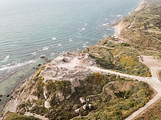
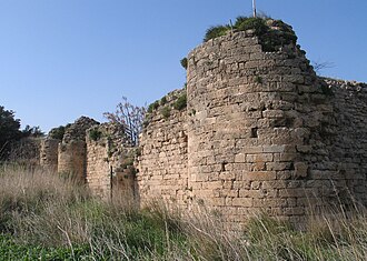
- Arsuf
25 km south-west · Ruin
Apollonia, known in the Early Islamic period as Arsuf and in the Crusader Kingdom of Jerusalem as Arsur, was an ancient city on the Mediterranean…
Day trips: 25–60 km
- Mukataa Ramallah
47 km south · Palace & château
Mukataa is an Arabic word for headquarters or administrative center, particularly in Palestine.
- Belvoir Fortress
56 km north-east · Ruin
Belvoir Castle, also called Coquet by the Crusaders, also Kochav HaYarden and Kawkab al-Hawa, is a Crusader castle in northern Israel, on a hill on…
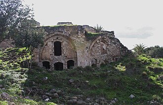
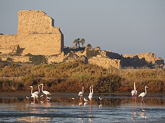
- Château Pèlerin
45 km north · Castle
Château Pèlerin, also known as Atlit and Magdiel, is a Crusader fortress and fortified town located about 2 kilometres north of the modern Israeli…
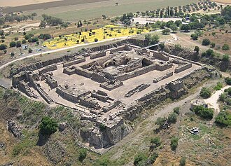
- Alexandreion
47 km south-east · Fortress
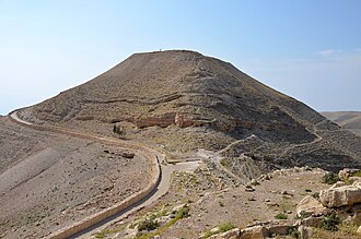
Alexandreion, or Alexandrium, called Sartaba in the Mishna and Talmud and Qarn Sartaba in Arabic, was an ancient hilltop fortress constructed by the…
- Qula
31 km south · Ruin
Qula was a Palestinian village in the Ramle Subdistrict of Mandatory Palestine, located 15 km northeast of Ramla.
- Castel National Park
58 km south · Castle
Castel National Park is an Israeli national park, which consists of a fortified summit in the Judean Mountains, at the site of the former Palestinian…
- Migdal Afek
27 km south · Ruin
Migdal Afek, also Migdal Tsedek, is a national park on the southeastern edge of Rosh HaAyin, Israel.
Farther afield: 60–100 km
- Antonia Fortress
62 km south · Ruin · #312 worldwide
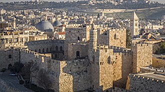
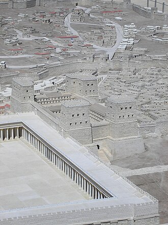
The Antonia Fortress was a citadel built by Herod the Great and named for Herod's patron Mark Antony, as a fortress whose chief function was to…
- Montfort Castle
84 km north · Ruin
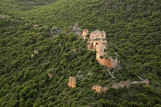
Montfort is a ruined Crusader castle in the Upper Galilee region in northern Israel, about 22 miles northeast of the city of Haifa and 10 miles south…
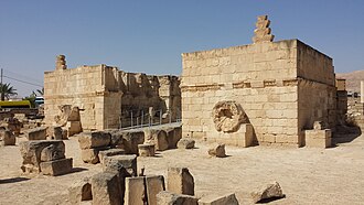
- Hisham's Palace
63 km south-east · Ruin
Hisham's Palace, also known as Khirbat al-Mafjar, is an important early Islamic archaeological site in the city of Jericho, in the West Bank in…
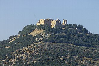
- Ajlun Castle
65 km east · Castle
Ajloun Castle, medieval name Qalʻat ar-Rabad, is a 12th-century Muslim castle situated in northwestern Jordan.
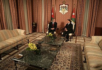
- Raghadan Palace
95 km south-east · Palace & château
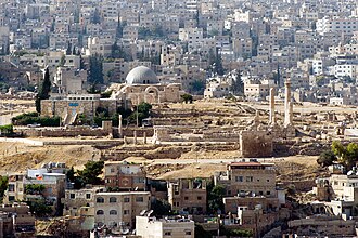
Raghadan Palace, the first Hashemite structure in Jordan, was built by King Abdullah I, the founding monarch of the country.
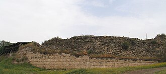
- Ateret Fortress
95 km north-east · Ruin
Chastelet also known as Beytulahzan was a castle located beside Jacob's Ford, a ford of the upper Jordan River in Israel.
- Safed Fortress
85 km north-east · Fortress
The Citadel of Safed is a now-defunct fortress castle situated on the peak of the mountain housing the modern city of Safed.
- Citadel of Acre
68 km north · Fortress
The Hospitaller commandery of Saint-Jean-d'Acre is a monumental complex founded by the Order of St.
Distances are straight-line from the city centre. City coordinates and population: Wikidata Q985531.
Frequently asked questions
How many castles are near Tulkarm?
The Castlemap atlas maps 16 landmarks (3 castles · 3 fortresses · 2 palaces & châteaux · 8 ruins) within 100 km of the centre of Tulkarm, measured straight-line — a curated selection of well-documented landmarks, not a count of every fortification ever built.
What is the closest castle to Tulkarm?
Arsuf, a ruin 25 km south-west of the city centre.
What is the most famous castle near Tulkarm?
Antonia Fortress, ranked #312 of 3,708 worldwide in the atlas's fame ranking — 62 km south from Tulkarm.
Nearby city guides: Hadera (19 km) · Tel Aviv (35 km) · Haifa (57 km) · Jerusalem (62 km). See also medieval castles · all rankings · castles by country.